PROJECT DETAILS
CLIENT: METRO Transit
LOCATION: Minneapolis – St. Paul, Minnesota
PROJECT DESCRIPTION
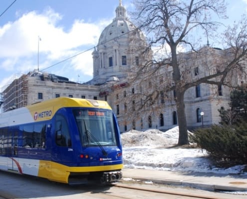
The second LRT line in Minnesota, the METRO Green Line (formally Center Corridor LRT) entered service on June 14, 2014. The Green Line, together with the Blue Line and the Northstar Commuter Line, provides enhanced and connected transit choices for those living in the Twin Cities area. The 11-mile Green Line travels through many diverse and densely populated urban neighborhoods of the Twin Cities and connects the downtowns of Minneapolis and Saint Paul with 18 new stations. The line includes destination stops at the University of Minnesota and the Minnesota Capitol. Since rolling out service, the average weekday ridership has exceeded all expectations at approximately 40,000 riders daily.
RANI SOLUTION
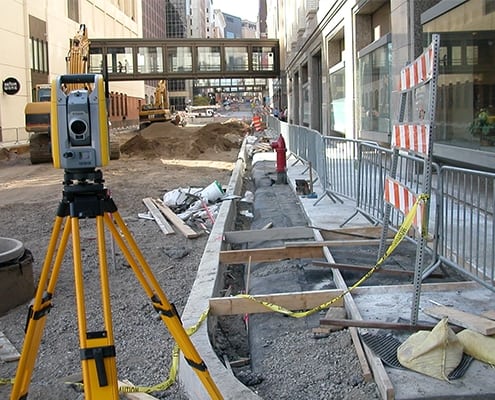
- Topographic survey and drawings created from 200,000+ survey points collected from August 2007 to early 2010
- Field work completed with snow and ice conditions during two winters: 2007 and 2009
- Survey AutoCAD drawings to project office as completed to keep project design moving as data was collected
- Right-of-way base map created in AutoCAD to MnDOT CADD standards while concurrently converted to MicroStation for design team use
- Review of 400+ subdivision plats and 10,000+ pages of detailed legal descriptions and easements to determine the right-of-way and document encumbrances that could limit corridor construction
- Survey of underground utility markings for utility impact studies and planned relocation & bandonment in accordance with FHWA SUE quality level standards for data certainty and tolerance
- Assisted in the preparation of more than 6,000 MnDOT UIS (Utility Information System) data sheets for each utility in the corridor – left in place, abandoned or relocated


