What We Do…
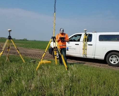
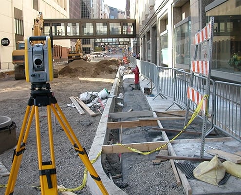
Rani Engineering’s survey team has been a prominent and reliable land surveying consultant in the Twin Cities for over 26 years. Our survey team has successfully evaluated hundreds of thousands of data points for projects of all magnitudes, ranging from minor roadway designs to expansive transit and freight railroad projects. Our industry-leading survey equipment, combined with the expertise of our highly-qualified surveyors, guarantees impeccable accuracy and precision for each endeavor we take on. Moreover, our survey team can produce rapid turnaround times for even the most intricate projects.
Our Professional Services include…
- Boundary surveys
- Topographic design surveys and existing conditions mapping
- ALTA/NSPS land title surveys
- Right-of-Way and easement acquisition surveys
- Certificates of survey
- Quantity takeoff survey
- Preliminary and final plats
- Underground utility identification and location (part of SUE quality levels (A-D)
- Legal descriptions for easements and parcels
- Right-of-way base map preparation
- Construction staking and as-built surveys
Land Surveying
What We Do…
Rani Engineering’s survey team has been a prominent and reliable land surveying consultant in the Twin Cities for over 26 years. Our survey team has successfully evaluated hundreds of thousands of data points for projects of all magnitudes, ranging from minor roadway designs to expansive transit and freight railroad projects. Our industry-leading survey equipment, combined with the expertise of our highly-qualified surveyors, guarantees impeccable accuracy and precision for each endeavor we take on. Moreover, our survey team can produce rapid turnaround times for even the most intricate projects.
Our Professional Services include…
- Boundary surveys
- Topographic design surveys and existing conditions mapping
- ALTA/NSPS land title surveys
- Subsurface Utility Engineering (SUE) surveys
- Right-of-Way and easement acquisition surveys
- Certificates of survey
- Quantity takeoff survey
- Preliminary and final plats
- GPS data acquisition
- Underground utility identification and location (part of SUE quality levels (A-D)
- Parcel maps, easements, and legal descriptions
- Right-of-way base map preparation
- Construction staking and as-built surveys


